


By Chioma Sunny-Adikwu
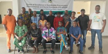
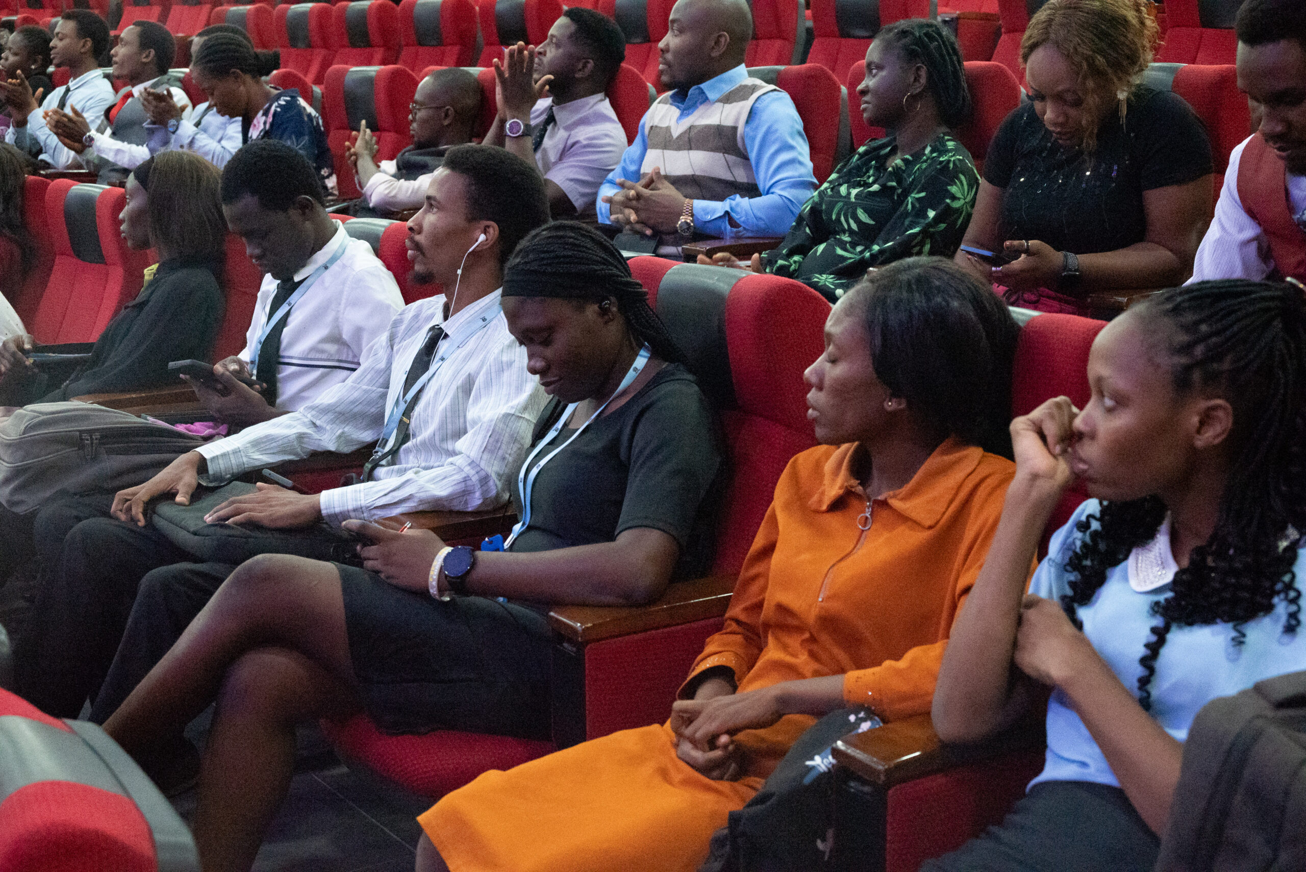
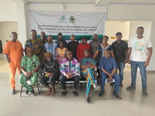
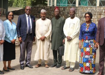
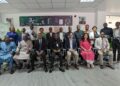
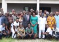
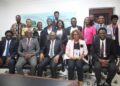
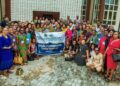
The Centre of Excellence in Sustainable Procurement, Environmental and Social Standards (CE-sPESS), Federal University of Technology Owerri has concluded another Executive Workshop. This time, it is on Natural Hazards, Disaster Risk Management, and Community Resilience under the Environmental Standards Track A with over 200 participants from diverse sectors including environmental science, engineering, urban planning, and emergency response agencies.
The Centre Leader, Prof Gloria Chukwudebe who introduced the training, explained that it addressed the growing threats of natural disasters, offering tools, techniques, and strategies for disaster preparedness, risk mitigation, and resilient recovery planning.
According to her, the Workshop was designed to expose participants to the causes and patterns of natural hazards and help them develop skills in geospatial analysis and risk mitigation planning.
“It also aimed to enhance resilience strategies for communities vulnerable to environmental disasters and provide participants with practical frameworks for Monitoring & Evaluation in disaster contexts,” she said.
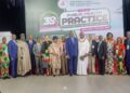
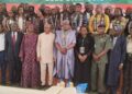
The facilitators were made up of erudite scholars from the environmental and geophysical sciences. Leading the team was the Coordinator of the module, Prof. Alexander Iheanyichukwu Opara, who is the Chief Research Officer of the Centre and a Professor of Geology with interest in environmental (water, soil and air) studies. He introduced the module- Natural Hazards, Disaster Risk Management and Community Resilience and extensively handled the sessions on Geospatial Technology and Applications in Natural Disaster Monitoring, Evaluation and Mitigation. Other facilitators include:
• Dr. CC Agoha – Understanding the Concept of Environmental Hazards
• Dr. U.V. Okorondu – GIS-MCA Based Approach to Flood Risk Assessment in Imo State.
Geospatial Application in Natural Disaster Management.
Flood Disaster and Management.
• Dr. F. B. Akiang – Soil Erosion Processing and Dynamics.
• Dr. T.C. Anyanwu- Coastal Degradation: Causes, Effects and Mitigation.
• Dr. M.C. Iwuji – Deforestation, Drought and Desertification.
Landslides, Land Subsidence and Volcanic Eruptions
• Dr. G.O. Nwafor – Geostatistical Techniques for analysis of natural disaster data
The major highlights of the Workshop include:
• Technical session on Geospatial Application in Disaster Monitoring by Dr. U.V. Okoronkwo.
• Hands-on demonstrations with GIS data on hazard-prone zones in Nigeria.
• Interactive question and answer sessions, peer discussions and shared field experiences.
Speaking after the workshop, participants described the Workshop as very successful as they gained enhanced capacity in disaster mapping and impact modeling while strengthening real-time collaboration between academia and disaster management professionals.
According to Dr Francisca Egenuga, the most important thing is that they as participants were leaving with actionable frameworks for community engagement and early warning systems.
“It is recommended that institutionalised disaster preparedness training be part of annual environmental audits, and that there is a need for the use of open-source geospatial tools in environmental planning. More importantly, strong partnerships with NEMA, Red Cross, and local emergency response agencies are required to improve disaster risk management in our society,” she added.


